
 1130 Buxton Road, Marysville Victoria, 3779
 03 5963 3247
 Email Us

Marysville’s walks run from a flat half-kilometre circuit to an 11-kilometre climb up to Keppel Lookout. Distance alone does not tell you how hard a walk will be. Some routes climb steep or uneven ground. A grade is a published rating of how hard a track is. Grade 1 is flat, with no steps. Grade 3 tracks may have steep sections, rough ground and many steps.
Walking or driving to Keppel Lookout
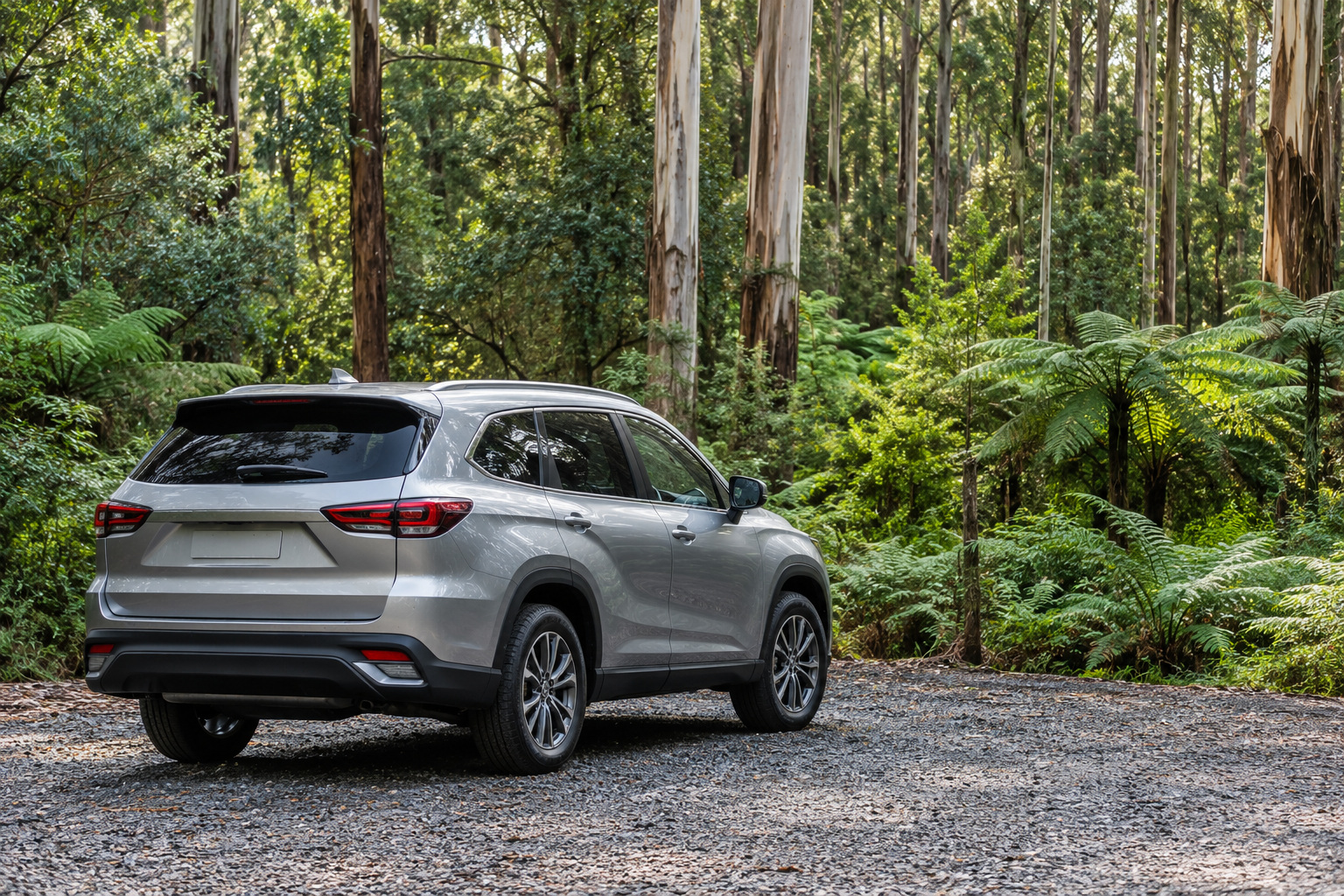
Keppel Lookout is a viewing platform above Marysville. There are two ways to reach it. One is a short drive. The other is a circuit listed at three to four hours. Choose the route before leaving town.
Keppel Lookout Forest Drive is an easy 11-kilometre return drive. It starts south of the township and follows Paradise Plains Road. It passes the Marysville water reservoir on the way. The shire describes it as suitable for all vehicle types year-round. Check current road conditions and closure notices before driving.
From the car park, a short flat gravelled path leads to the large viewing platform. The shire describes the path as suitable for wheelchairs and prams. Check its current condition against your access needs before visiting. There is a picnic table at the site. The nearest accessible toilets are at the tourist information centre on Murchison Street, about a 12-minute drive away.
The view takes in Marysville, the Cathedral Range State Park and the Acheron Valley.
Keppel Lookout Trail is the route on foot, and the shire grades it 3. It is an 11-kilometre circuit through mountain ash and stringybark forest. It is uneven and steep in places. The shire’s trail data gives three to four hours. The description on the same page says one to four. The trail starts along Falls Road and is best walked anticlockwise.
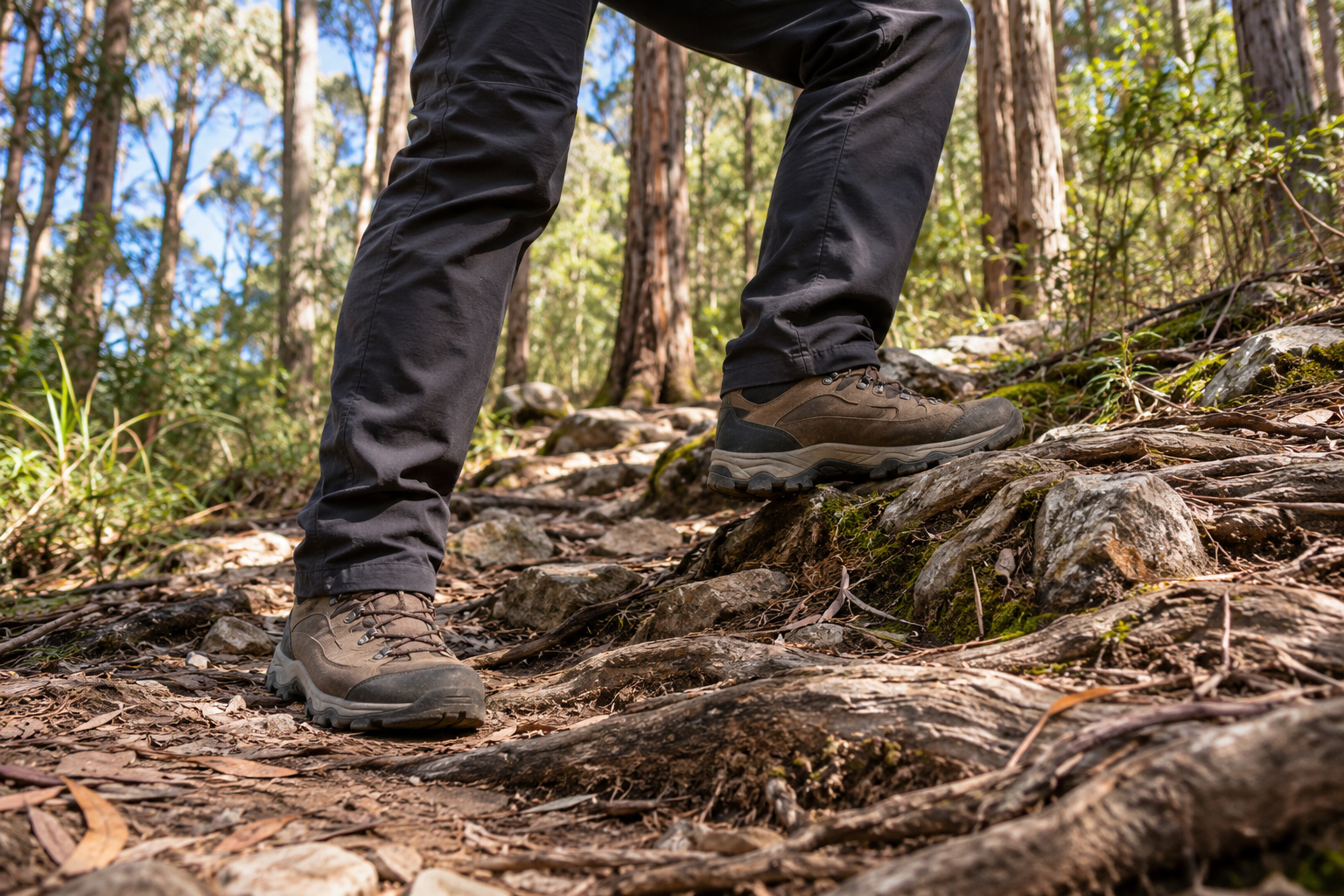
Walkers on it need to be self-sufficient. Carry your own food and water. Wear sturdy shoes with good tread. Phone signal is unreliable in places, so tell somebody where you are going and when you expect to be back.
Keppel Falls and the Keppel Falls Lookout are a different place with a similar name. Our waterfalls page covers both.
Michaeldene Trail and Red Hill Trail
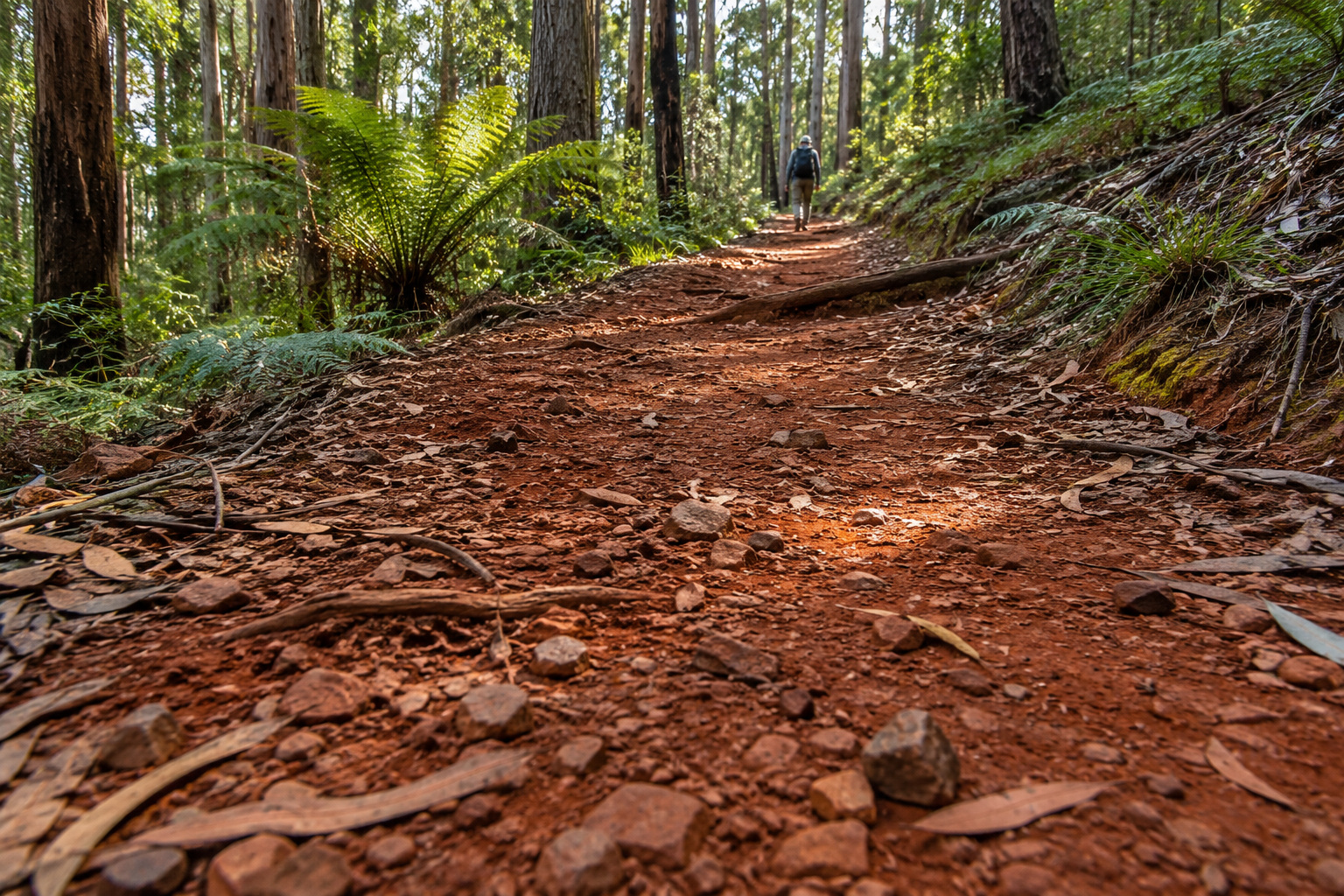
The Michaeldene Trail and the Red Hill Trail are the two state forest tracks north of town. They meet in the forest, so the pair can be walked as one longer morning.
The Michaeldene Trail is a Grade 2 circuit. It runs as a short loop of 2.7 kilometres or a long loop of 4.3 kilometres. The shire gives 30 minutes to an hour and a half for them. The track is well formed and runs from clay to gravel and stone in parts. It crosses several dirt roads and is clearly signposted. It is mostly flat, and it links the Steavenson and Taggerty Rivers.
Sections of it follow old tramline alignments. In places the original timber sleepers still sit in the ground. They once carried logs down to the sawmill. The Taggerty River Lookout gives a view over the river. A trestle bridge spans a small gully, built to reach timber on Red Hill. Cross it and you are on the Red Hill track.
The Red Hill Trail is 2.1 kilometres one way and takes 30 to 40 minutes. The shire grades it 3. It is a gradual incline up a red clay path, in the foothills of the Marysville State Forest. It runs from Buxton-Marysville Road to the intersection with the Michaeldene Trail. The Michaeldene loop adds distance beyond the one-way Red Hill figure. Allow time for the return walk too.
Marysville walks that start in town
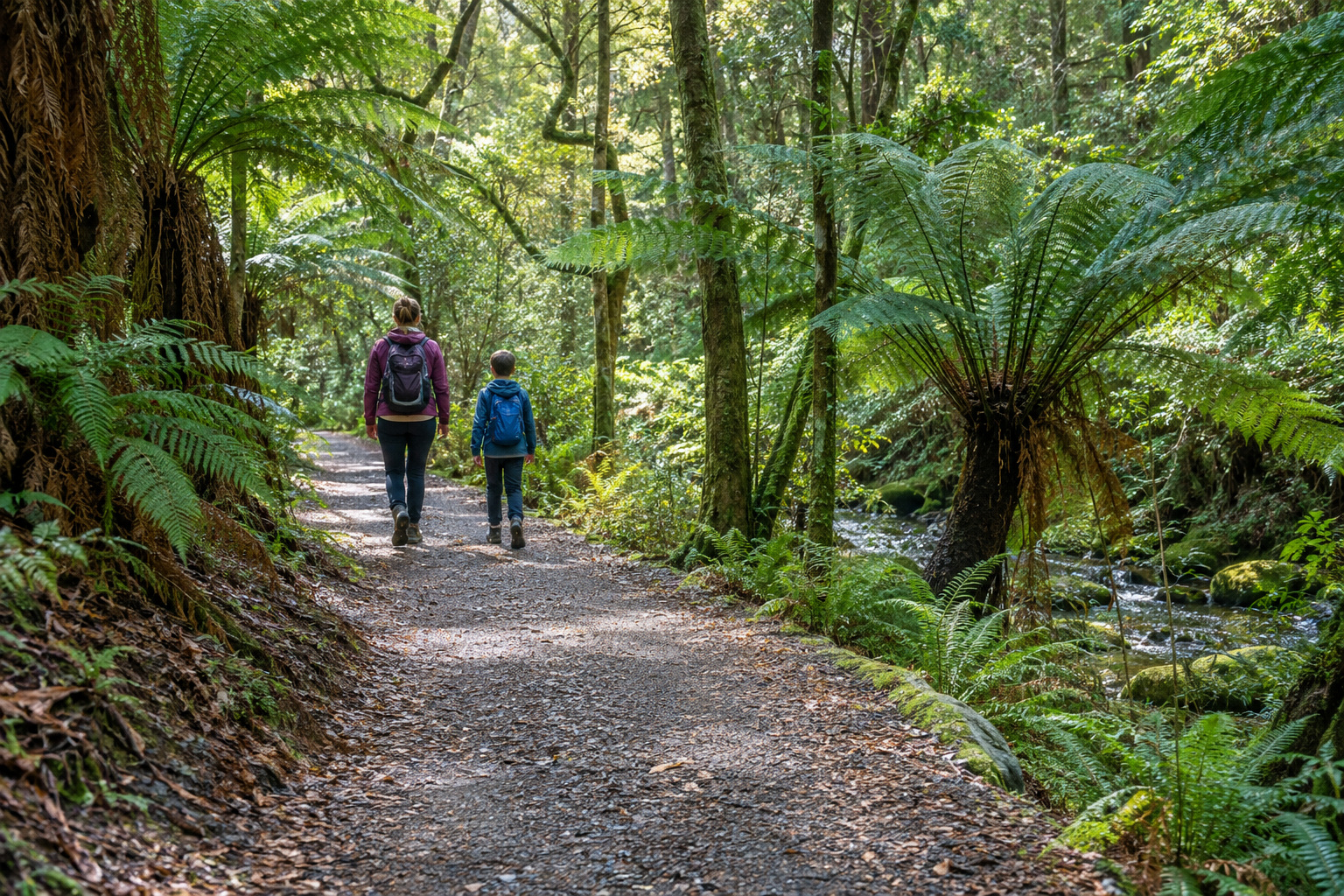
Two Marysville walks need no car, because both of them start in the town itself.
The Beauty Spot Nature Trail is the easiest walk here. It is a Grade 1 circuit along Leary Creek, into tree fern groves, with interpretive signs on the way. The shire gives two circuits: a short one of 0.5 kilometres and a longer one of 1.5 kilometres. They take anywhere from 10 to 40 minutes. Grade 1 means a flat even surface with no steps. The shire’s Grade 1 key includes wheelchair users with someone to assist. Check the track’s current condition before setting out with a wheelchair or pram.
The Tree Fern Gully Trail is the walk from town out to Steavenson Falls. It is a Grade 2 gravel formed track, 3.4 kilometres one way. Allow an hour to an hour and a half each way. It has gentle hills, crosses Yellow Dog Road and follows the Steavenson River. The reserve at the end of it is covered on our page on Steavenson Falls.
Check the route from your accommodation to your chosen trailhead before setting out.
If you want the whole town rather than the trails, our guide to things to do in Marysville puts a time against each outing.
Which Marysville walk suits which walker
The table puts the six routes side by side, with the shire’s figures for each.
The grades come from the shire, which prints the same key beside every walk. Grade 1 needs no bushwalking experience: a flat even surface, no steps, no steep sections, nothing longer than 5 kilometres. Grade 2 needs no experience either. It means a hardened or compacted surface, possibly gentle hills and occasional steps, up to 10 kilometres. Grade 3 suits most ages and fitness levels, with some experience recommended. It may have short steep hill sections, a rough surface and many steps, up to 20 kilometres.
| Walk | Distance | Time | Grade | Surface | Dogs |
|---|---|---|---|---|---|
| Keppel Lookout Forest Drive | 11 km return, a drive rather than a walk | no walking time published | not graded; check road conditions | short flat gravelled path from the car park | check the signs at the trailhead |
| Keppel Lookout Trail | 11 km circuit | 3 to 4 hours | Grade 3 | uneven and steep in places | check the signs at the trailhead |
| Michaeldene Trail | 2.7 km short loop or 4.3 km long loop | 30 minutes to 1.5 hours | Grade 2 | clay to gravel and stone, mostly flat | on the shire’s list of top dog walks, on a lead |
| Red Hill Trail | 2.1 km one way | 30 to 40 minutes | Grade 3 | red clay, a gradual incline | check the signs at the trailhead |
| Tree Fern Gully Trail | 3.4 km one way | 1 to 1.5 hours each way | Grade 2 | gravel formed track, gentle hills | yes, except the last section to the falls |
| Beauty Spot Nature Trail | 0.5 km or 1.5 km circuit | 10 to 40 minutes | Grade 1 | flat and even, no steps | check the signs at the trailhead |
Choose a track for the walkers in your group, not its distance alone. Keppel Lookout Trail has steep, uneven ground and needs sturdy footwear.
The table covers the walks in and around town. The Lake Mountain tracks are a separate trip up the mountain, and our guide to a day at Lake Mountain without snow has those. Another longer option sits at Toolangi. The Tanglefoot Loop there is a 10-kilometre Grade 3 circuit of two to three hours, and it turns muddy in the wetter months.
Where you can take a dog, and where you cannot
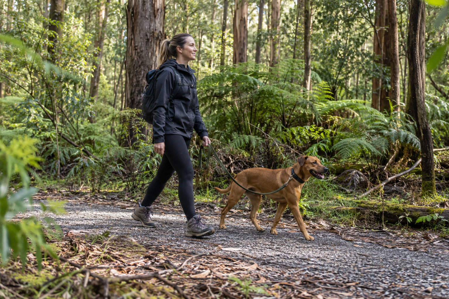
The rule that matters is whose land the track crosses. Parks Victoria says dogs are not allowed in most of Victoria’s national parks.
The shire says dogs are generally permitted in state forests across Victoria. It also says it is always best to check first, and to keep a dog on a lead for the safety of wildlife and the dog.
Two of these walks have a published answer. The Michaeldene Trail is on the shire’s own list of its top dog walks, along with the Tanglefoot Loop at Toolangi. On the Tree Fern Gully Trail, the shire says a dog may go anywhere along the walk except the last section to the falls. A dog walker who wants to turn back early can turn right at Yellow Dog Road. The track across from Falls Road leads back into town.
For every other walk on this page, check the land manager’s current advice and signs at the trailhead before taking a dog.
At the park, dogs may stay in the Maple pet friendly cabins or on a site. The cabin policy allows up to two dogs. Keep dogs on a lead outdoors and do not leave them unattended.
Allowing time for the walk and return journey
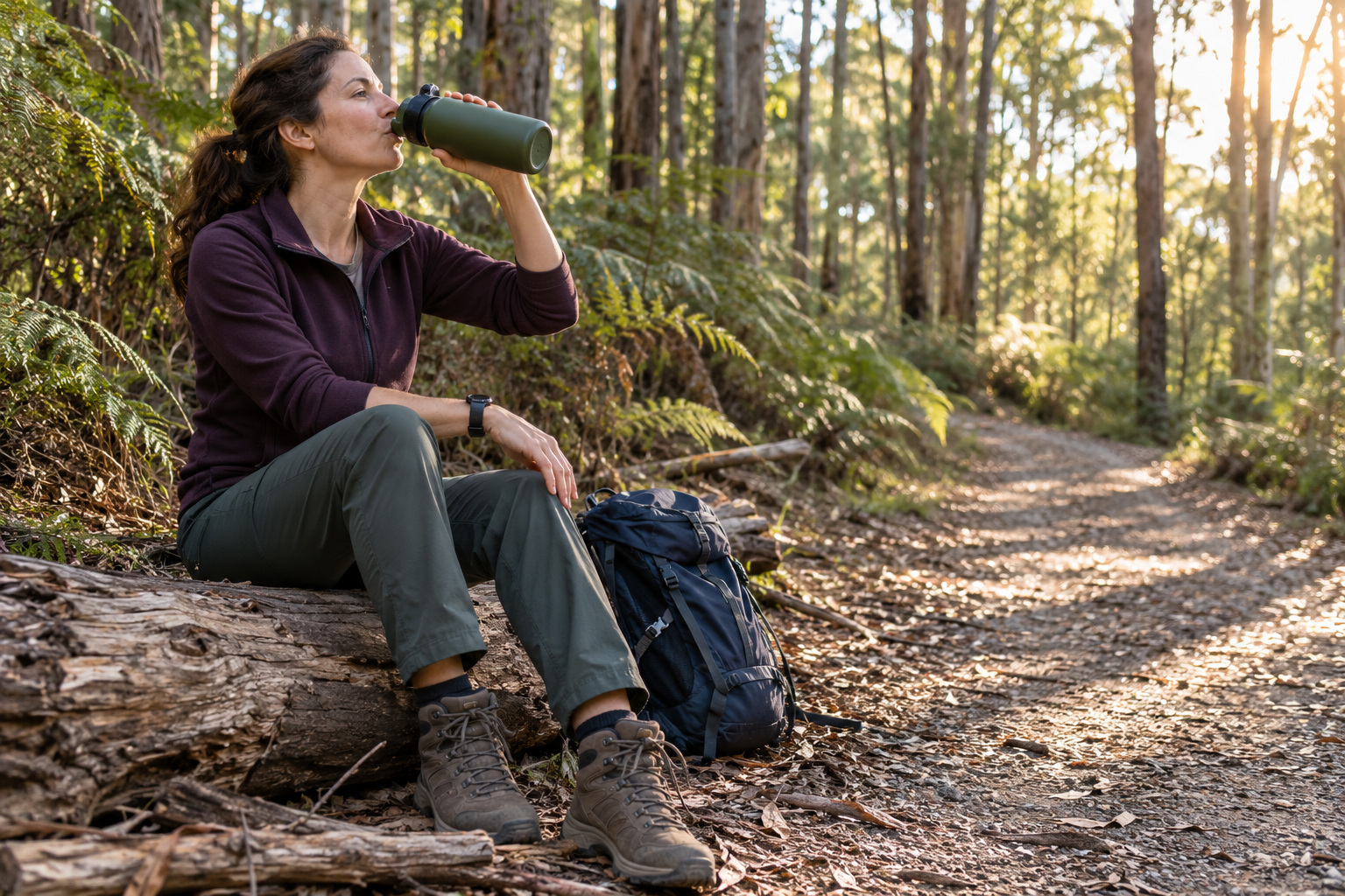
Allow for the return journey when choosing a walk. Keppel Lookout’s published three to four hours leaves less room for another long route. Tree Fern Gully takes an hour to an hour and a half each way. Add breaks and the drive from Melbourne before deciding how much to fit in.
A second night can leave more time for walking and rest. A short town circuit and a longer forest walk need different amounts of daylight. Choose the walk first, then allow enough time around it.
The shire asks walkers to carry water, sun protection and a charged phone, and to keep to marked tracks. It also advises avoiding walks on days of Total Fire Ban. Check current fire warnings and land-manager closures before leaving.
To plan your stay, browse the accommodation at Marysville Holiday Park.
Frequently asked questions
How long is the Keppel Lookout walk?
Plan on a half day. The circuit is 11 kilometres, and the longer of the two times the shire publishes for it is four hours.
Can you drive to Keppel Lookout?
Yes. The shire describes an 11-kilometre return forest drive for all vehicle types, with a short flat gravel path to the platform. Check road conditions and any closures before visiting.
Is the Keppel Lookout Trail hard?
Grade 3 is the highest track grade in the table. Expect a steady climb, rough footing and half a day on your feet. Take your own water and food.
Which Marysville walk suits kids?
Consider the Beauty Spot Nature Trail’s shorter circuit, half a kilometre of Grade 1 ground. If that goes well, the Michaeldene Trail’s short loop is the next step up.